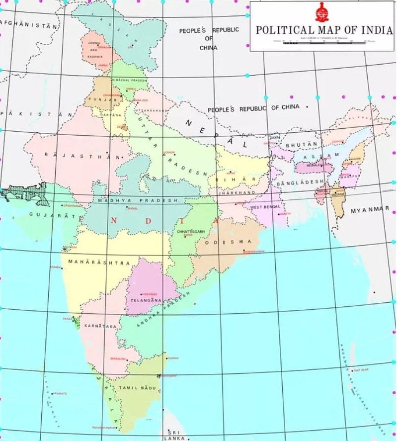
How opening up of geospatial sector will help India boost economic growth
India on Monday (February 15) opened up regulations on geospatial data, allowing private companies to conduct surveying and mapping without prior government approvals and sharing the data for various applications -- from logistics and transport to road safety and e-commerce

India on Monday (February 15) opened up regulations on geospatial data, allowing private companies to conduct surveying and mapping without prior government approvals and sharing the data for various applications — from logistics and transport to road safety and e-commerce.
With the liberalisation, there shall be no need for prior approval, security clearance, licence or any other restrictions on the collection, generation, preparation, dissemination, storage, publication, updating and/or digitisation of geospatial data and maps within the territory of India.
The Ministry of Science and Technology has released new guidelines for the geospatial sector in India, which deregulate existing protocol and liberalise the sector to a more competitive field. These guidelines came close on the heels of the Department of Space’s space-based remote sensing policy that liberalised access to remote sensing data. These measures are projected to help realize the country’s vision of self-reliance and the goal of $ 5 trillion economy.
Also read: Sweeping changes in mapping policy: Indian innovators freed from old curbs
Here’s a primer of things to come:
At present, India relies heavily on foreign resources for mapping technologies and services. Liberalisation of existing data sets will spur domestic innovation and enable Indian companies to compete in the global mapping ecosystem by leveraging modern geospatial technologies.
Geo-spatial data: It is a term used to describe data related to or containing information about a specific location on the earth’s surface. It generally involves information of public interest such as roads, localities, rail lines, water bodies, and public amenities. The geospatial data in daily life is seen in various apps such as food delivery apps, e-commerce or even weather apps.
Technically, there are several types of spatial data such as Vector Data, Raster, Attributes, Geographic Coordinate System, Georeferencing and Geocoding.
Vector data: It is best described as graphical representations of the real world. There are three key vector data: points, lines, and polygons. Vectors are best used to present generalisations of objects or features on the earth’s surface.
Raster: It is presented in a grid of pixels. Each pixel within a raster has a value, whether it a colour or unit of measurement, to communicate information about the element in question. Rasters typically refer to imagery. In the spatial world, this may specifically refer to photos taken from satellites or other aerial devices.
Attributes: Spatial data can have any amount of additional attributes accompanying information about the location. For example, a map displays buildings within a city’s downtown region. Each of the buildings, in addition to their location, may have attributes such as the type of use (housing, business, government, etc.), the year it was built, and how many floors it has.
Geographic Coordinate System: To identify exact locations on the earth, a geographic coordinate system is used. The axes are referred to as lines of latitude (horizontal lines that run east-west) and longitude (vertical lines that run north-south). Each axis represents the angle at which that line is oriented with respect to the center of the earth, and so the units are measured in degrees.
Georeferencing and Geocoding: Both the terms involve fitting data to the appropriate coordinates of the real world. The data used in geocoding are addresses and location descriptors (city, country etc.). Each location is given the exact coordinates of reference for that location.
Also read: Better security in Data Protection Bill can avoid Arnab-like episodes
The benefits of opening up
* Locally available and relevant maps and geospatial data will help in better planning and management of resources and serve the specific needs.
* Agriculture, healthcare, finance and revenue, logistics, transportation, technology, commerce will be positively impacted. These sectors form 70% of India’s GDP.
* Since individuals, companies, organisations, and government agencies will be free to process the acquired geospatial data, building applications and developing solutions will be easier.
* Experts say liberalisation would unlock opportunities in sectors like agriculture, mining, water, urban utilities, public safety and infrastructure which already rely heavily on geospatial infrastructure.
* Even sectors such as insurance, manufacturing, retail, banking can now tap into multitude of new opportunities enabled with location analytics
* The government invested heavily in Geographic Information System mapping after the Kargil war exposed India’s dependence on foreign data.


