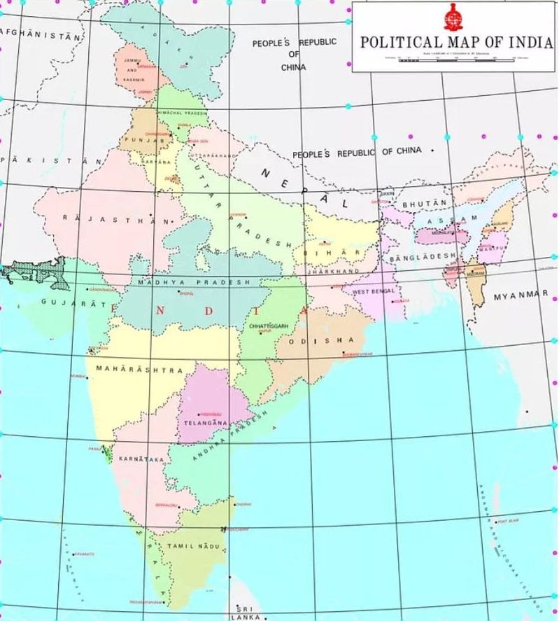
Sweeping changes in mapping policy: Indian innovators freed from old curbs
In a move that can open up many business opportunities in the digital world, the Narendra Modi government is radically liberalising India’s mapping policy. Indian organisations and innovators will no longer be subject to restrictions on collecting, processing, disseminating, storing and publishing geospatial data and maps, according to the Ministry of Science & Technology.

In a move that can open up many business opportunities in the digital world, the Narendra Modi government is radically liberalising India’s mapping policy. Indian organisations and innovators will no longer be subject to restrictions on collecting, processing, disseminating, storing and publishing geospatial data and maps, according to the Ministry of Science & Technology.
Prior approval needed to carry out mapping and processing mapping data is being scrapped and replaced with a system of self-certification. This will have a wide-ranging implications, including unshackling enterprises that seek to develop new applications based on geospatial data.
This far-reaching policy change in mapping data follows Prime Minister Modi’s recent observation that the existing regime has imposed enough restrictions on the mapping industry, from creation to dissemination of maps. This has led to Indian companies running from pillar to post to seek licenses, and to follow a cumbersome system of pre-approvals and permissions. Compliance with these regulatory restrictions has subjected start-ups in India to unnecessary red tape, hindering Indian innovation in map technologies for decades. Now the restrictions will go, as the Ministry of Science & Technology is carrying out sweeping changes in its policy guidelines for geospatial data.
Also read: ISRO to soon launch a rival to Google Maps in India
Outdated curbs
What is readily available globally does not need to be curtailed in India and therefore, geospatial data will be freely available, the Ministry of Science & Technology said in a statement issued here. While companies like Google are using Indian geospatial data without any restrictions, the hands of Indian enterprises are tied due to heavy curbs. Finally, India Inc. is now free to utilise mapping data, and the Ministry hopes that the new-found freedom will enthuse a slew of new businesses.
“To realise India’s vision of Atmanirbhar Bharat and the goal of a US$5 trillion-dollar economy, the regulations that apply to geospatial data and maps henceforth stand radically liberalised,” the statement said. Describing the policy changes as “sweeping” and hoping that it will enable unshackling innovation, the Ministry said, adding that it looks forward to India emerging as a mapping power.
“With the next generation of mapping technology just about coming into its own around the world, this policy will enable Indian innovators to create substantial advances in mapping, ultimately making our lives easier and empowering small businesses. We look forward to India emerging as a mapping power, creating next generation indigenous maps of India and taking these new technologies to the rest of the world,” the statement said.
Self-certification
Our start-ups and mapping innovators will be trusted to self-certify, apply good judgement and be relied upon to demonstrate adherence to guidelines. In other words, instead of seeking ‘prior permission’ from the government at every stage, enterprises can go ahead with their work in this sphere by providing self-certified information. Measures to promote the development of Indian geospatial innovations that take advantage of the latest map-making technologies are proposed, the statement said.
Also read: India ranks 48th in Global Innovation Index, among top 50 for the first time
The feeling within the government is that maps and accurate geospatial data are crucial for national infrastructure projects such as linkages of rivers, creation of industrial corridors and deploying smart power systems. Emerging vibrant technologies like Digital India, Smart Cities, eCommerce, autonomous drones, delivery, logistics and urban transport, require maps with greater depth, resolution and precision, the statement said. In every economic endeavour, be it agriculture, finance, construction, mining and local enterprise, India’s farmers, small businesses and corporations alike stand to gain tremendously from the application of innovative technologies based on modern geospatial data technologies and mapping services.
Indian Space Research Organisation (ISRO) has already tied up with a private firm –MapmyIndia – for a partnership to develop an indigenous mapping portal and geospatial services. ISRO has also started work with private firms on satellite testing, with the government announcing last year that doors are being opened for private enterprises to partner with the government space research giant.

