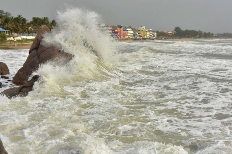
Five states on high alert as Cyclone Tauktae picks up pace

Cyclonic storm, Tauktae, is an intense system, which is likely to bring extremely heavy rainfall in its path, the Indian Meteorological Department (IMD) said on Friday (May 14).
Weather scientists said that a low pressure area has developed over Lakshadweep and the Southeast Arabian sea, which is likely to develop into a depression in the next 24 hours and intensify into a cyclonic storm, which will very heavy rains in coastal regions of Gujarat, Maharashtra, Goa, Karnataka, Kerala and some parts of Tamil Nadu. Scientists, however, are not sure of the cyclone will enter deeper into the mainland.
Sunitha Devi, in charge, cyclones at IMD, told Hindustan Times that they are not yet sure if the “very severe cyclonic storm” will cross the Gujarat coast. “But the possibility cannot be ruled out. One thing we are sure of is that it will bring extremely heavy rainfall in its path.”
The latest forecast suggests a ‘very severe cyclonic storm’ by May 17 which could have a wind speed of 150 to 160 kmph, which can go up to 175 kmph.
From Lakshadweep, the storm is expected to move north-northwestwards towards Gujarat and the coast along Pakistan, reaching the Gujarat coast on May 18. Heavy showers have been predicted in Gujarat including Saurashtra and Kutch on May 18 and 19. The heavy rains will be accompanied by gusty winds with a speed of 50kmph to 80 kmph in the next five to six days.
By Friday noon, the depression had moved to Lakshadweep, about 30 km south southwest of Amini Divi, 320 km west-southwest of Kannur (Kerala) and 1,120 km south southeast of Veraval (Gujarat).
The impact of the cyclone will also bring heavy to very heavy rainfall over Lakshadweep in the next 24 hours while Kerala and Tamil Nadu will get heavy showers till May 16. The IMD has issued a red alert in Thiruvananthapuram, Kollam and Pathanamthitta districts of Kerala and Lakshadweep on Friday and Malappuram, Kozhikode, Kannur, Wayanad and Kasargod districts of Kerala on Saturday.
“A low pressure area has formed over southeast Arabian Sea and adjoining Lakshadweep area today. It is very likely to become well-marked over Lakshadweep area by May 14 morning, concentrate into a depression over the same region by 15 morning and intensify into a cyclonic storm during the subsequent 24 hours. It is very likely to intensify further and move north-northwestwards towards Gujarat and adjoining Pakistan coasts. It is likely to reach Gujarat coasts around May 18 evening,” IMD said in a special bulletin on Thursday evening.
National Disaster Response Force (NDRF) chief SN Pradhan said the NDRF has already deployed 24 teams while keeping 29 others on the standby for relief and rescue operations in Gujarat, Kerala, Karnataka, Tamil Nadu and Maharashtra.
The south Konkan and Goa region are also predicted to receive light to moderate rains on Saturday and heavy to very heavy rainfall in a few areas on Sunday and Monday.


