



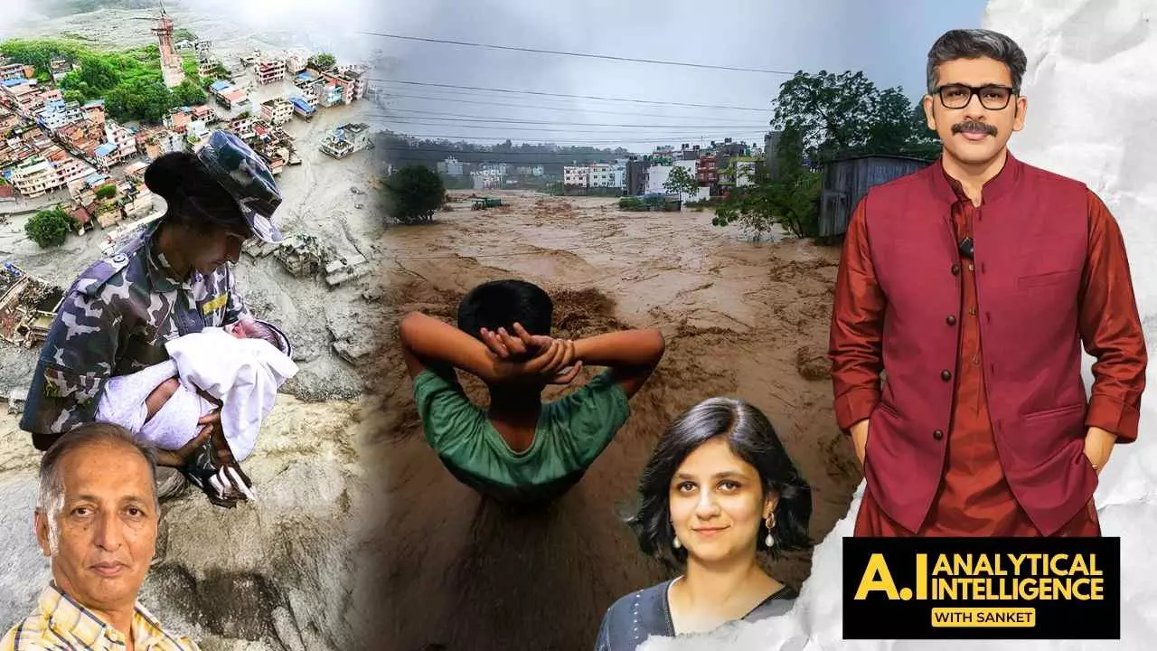
Satellite imagery, hydrological modelling, and flood simulation can now forecast flooding down to the level of individual streets and structures.
India's blind spot: Why outdated flood alerts can't catch Nepal-like disasters
India's flood-warning system still depends on a decades-old 'danger mark' method, says expert Zerine Osho

When a glacial lake burst along the Nepal-China border, it triggered a catastrophic flood that swept downstream—and raised a question that should worry India as much as it does Nepal: Are South Asian governments actually prepared to act on the warnings they already have?
According to Zerin Osho, Director of the India Program at the Institute for Governance & Sustainable Development, the honest answer for India is blunt — no.
Speaking on AI with Sanket Show, Osho argued that while nobody can pinpoint the exact moment a glacier will fail, the build-up of risk around glacial lakes, melting ice, and extreme weather is very much trackable. The real failure isn't a lack of science — it's a lack of will to use it.
The river that connects two countries — and two failures
The flood's path offers a direct illustration of the stakes. The Bhotekoshi river, where the disaster struck, flows into India and becomes the Gandak in Bihar. That means any early warning generated upstream in Nepal or via satellite monitoring has a direct, life-or-death relevance for communities hundreds of kilometers away in Indian territory.
Also Read: Nepal floods raise threat to Bihar as Ganga, Gandak, Kosi Rivers swell
Osho's point is that Indian authorities should, in principle, already know which "choke points" — specific streets, neighbourhoods, and clusters of homes — would be inundated if a similar surge arrived at India's doorstep. The tools to know this exist: satellite imagery, hydrological modelling, and flood simulation can now forecast flooding down to the level of individual streets and structures.
Stuck with an outdated yardstick
And yet, she says, India's flood-management systems still lean on a decades-old method: the "danger mark" system, where a town or district is put on alert only after river levels cross a fixed threshold.
That approach might work for slow, seasonal river rises. It does almost nothing for the kind of disaster Nepal just experienced — a flash flood or glacial collapse that can swell a river from calm to catastrophic in hours, not days.
Also Read: Morgues overflow in Nepal as flash flood death toll crosses 500
Osho's challenge to policymakers is pointed: if far more precise technology already exists, why is the alert system still calibrated to a blunt instrument built for a different kind of flood?
A pattern of reacting, not preparing
This isn't a one-off gap. Osho pointed to recurring disasters in Uttarakhand, Himachal Pradesh, Chennai, and Kerala as evidence of a broader pattern — governments responding to each flood or cloudburst as an isolated emergency, rather than treating them as symptoms of a risk that will keep recurring and intensifying as the climate changes.
Also Read: Nepal floods: People from more than 30 countries reported missing
The cost of staying reactive isn't just measured in lives. It shows up in destroyed homes, damaged infrastructure, disrupted livelihoods, and mounting pressure on public finances every time disaster strikes again.
Beyond warnings: the missing insurance piece
Osho's blind-spot argument doesn't stop at forecasting. She also flagged a gap in financial preparedness, pointing to the US National Flood Insurance Program as a model India's states could study.
Also Read: Nepal floods highlight growing glacial risks, need for scientific assessments: Experts
For flood-prone regions that face losses year after year, a structured public insurance mechanism could cushion the financial blow in a way that emergency relief funds, allocated after the fact, cannot.