Cyclone Mandous to cross coast near Chennai by Friday night, TN on high alert
On December 9, light to moderate rainfall is expected at most places and heavy to very heavy showers at a few places and extremely heavy rainfall at isolated places in north coastal Tamil Nadu, Puducherry

Heavy rainfall is expected in Tamil Nadu as cyclonic storm Mandous over the Bay of Bengal intensified into a severe cyclonic storm and is predicted to weaken gradually before crossing the coast near Chennai on December 9 midnight, the India Meteorological Department (IMD) said late on Thursday.
The Tamil Nadu government said 12 teams — comprising nearly 400 personnel from the National Disaster Response Force (NDRF) and the State force — have been deployed in 10 districts including Nagapattinam and Thanjavur in the Cauvery delta region, Chennai, its three neighbouring districts and Cuddalore. A holiday has been declared for schools and colleges on Friday.
Due to cyclone Mandous,light to moderate rainfall at most places,heavy to very heavy rainfall at few places&extremely heavy rainfall at isolated places likely over north coastal TN&Puducherry&isolated heavy to very heavy rainfall likely over adjoining north interior TN, today:IMD
— ANI (@ANI) December 9, 2022
The IMD, on its Twitter handle, said: “The CS Mandous intensified into a SCS and lay centered at 1730 IST over SW BoB about 350 km ESE of Karaikal and about 440 km SE of Chennai. It is very likely to maintain its intensity of SCS till early morning of 9th Dec and then weaken gradually into a CS by forenoon of 9th Dec.”
In an updated bulletin, it said that the Mandous lay 310 km off Karaikal and about 390 km off Chennai.
Rain prediction for Friday
Meanwhile, light to moderate rains were witnessed in several parts of northern Tamil Nadu under the influence of the cyclone since Thursday night.
Red Alert for 3 districts- Chengalpattu, Villupuram and Kancheepuram in Tamil Nadu today: IMD #CycloneMandous
— ANI (@ANI) December 9, 2022
On December 9, light to moderate rainfall is expected at most places and heavy to very heavy showers at a few places and extremely heavy rainfall at isolated places in north coastal Tamil Nadu, Puducherry. Isolated heavy to very heavy rainfall is likely in adjoining south coastal Andhra Pradesh and north interior Tamil Nadu and Rayalaseema. Following the landfall, the rainfall is set to recede.
It is expected to move west-northwestwards and intensify further into a severe cyclonic storm. “It will maintain its intensity of severe cyclonic storm till early morning of 9th December and then weaken gradually into a cyclonic storm tomorrow,” said IMD.
It is very likely to cross the coast near Mamallapuram near Chennai with a maximum sustained wind speed of 65-75 kmph gusting to 85 kmph on December 9 midnight. Mamallapuram, also known as Mahabalipuram, is about 50 km from the state capital.
Measures taken
Chairing a high level meeting at the Secretariat, Chief Secretary V Irai Anbu tasked officials to ensure that all stipulated measures are followed including prior announcement on release of surplus water from reservoirs and shifting people living in vulnerable areas to relief shelters. The government advised people to avoid travelling on Friday.
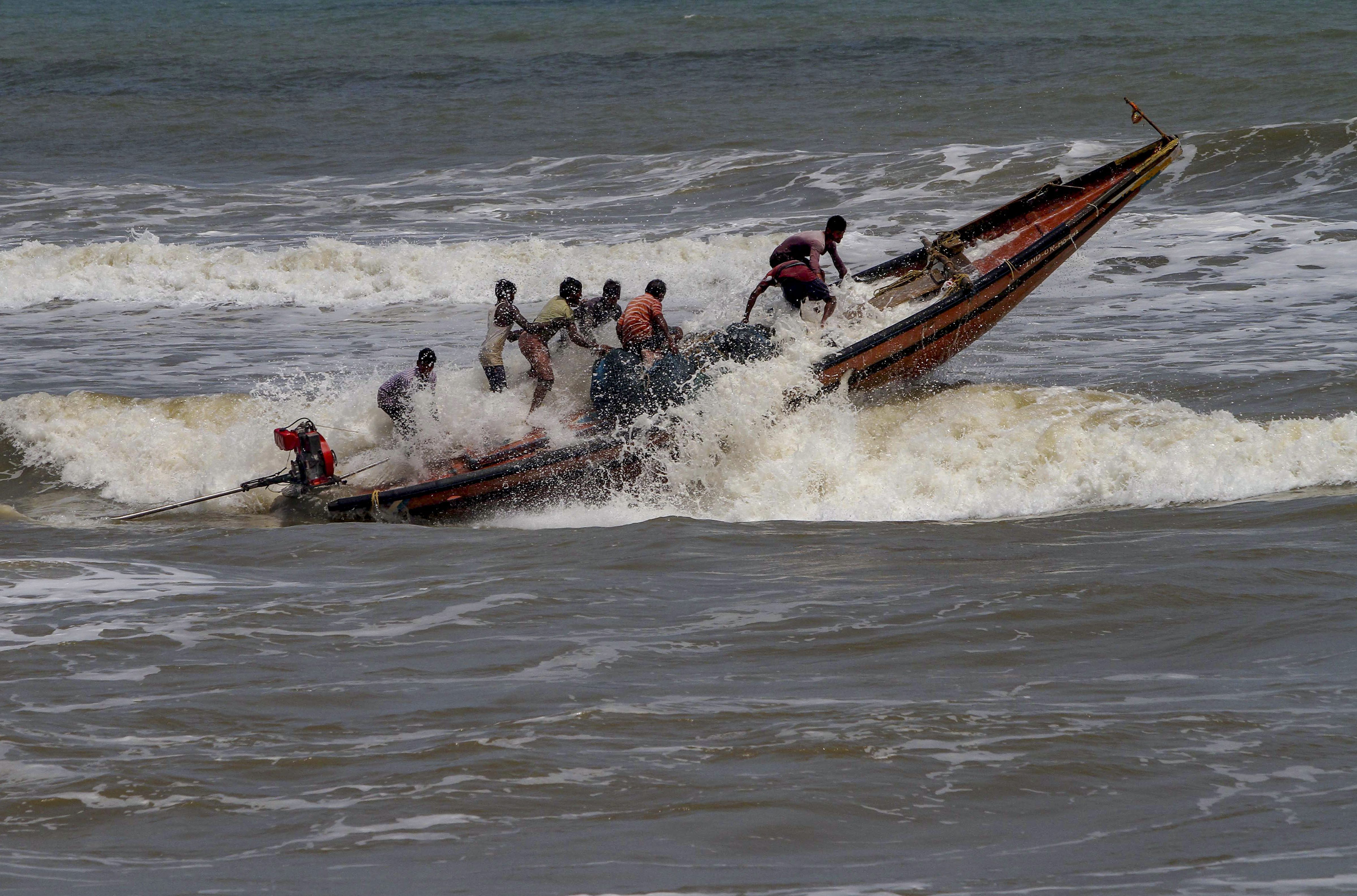
A Defence release said that several measures have been initiated by the Coast Guard (Eastern Region) in view of the cyclonic storm. “CG ships and aircraft have been continuously issuing advisories and shepherding fishing boats to return to harbour.”
All oil rigs, offshore installations have been requested to ensure safety of personnel, the release said.
The well-marked low pressure area over southeast Bay of Bengal intensified into a depression on December 6 and it further intensified into a “deep depression” and lay about 750 km off Chennai as on Wednesday.
With agency inputs

