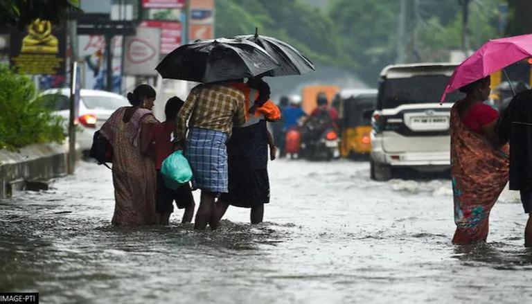
IMD forecasts normal northeast monsoon, but severe cyclones

The Indian Metrological Department (IMD) has forecast normal rainfall for most parts of India from October to December. The onset of northeast monsoon, which contributes to 48 per cent of Tamil Nadu’s annual rainfall, will begin around October 20.
According to the IMD, southwest monsoon over India has officially ended with 6% excess rainfall.
IMD director-general Mrutyunjay Mohapatra said, “Northeast monsoon rainfall over south peninsular India, consisting of five meteorological subdivisions (Tamil Nadu, Pondicherry, Coastal Andhra Pradesh, Rayalaseema, Kerala and South Interior Karnataka), is most likely to be normal, in the range of 88 to 112 per cent of Long Period Average (LPA).”
Based on data from 1971 to 2020, the LPA of rainfall in south peninsular India from October to December is about 334.13 mm.
Also read: Monsoon set to begin its retreat this week; 8 states recorded rain deficit
Above-normal rainfall in October
During October, above-normal rainfall is likely in most parts of India, except small pockets of the southernmost region and northernmost parts of the country. Rainfall across the country in October is likely to be above normal (>115 % of LPA).
Parts of northwest and northeast India are likely to receive below-normal rainfall from October to December, the IMD added.
Maximum temperatures are likely to be normal to below-normal in most parts of the country during October. However, in many parts of northeast and northwest India and some parts of eastern India, above-normal maximum temperatures are likely.
Also read: Lightning more fatal than cyclones, floods; killed 1,700 Indians last year
Brace for cyclones
The northeast monsoon is also notorious for tropical cyclones. On average, the season brings three cyclonic storms. But this year, there may be more. Also, more intense storms may form in the Bay of Bengal due to the prevailing La Nina and negative Indian Ocean Dipole (IOD) conditions.
La Nina refers to the large-scale cooling of the ocean surface temperatures in the central and eastern equatorial Pacific Ocean, coupled with changes in the tropical atmospheric circulation, including winds, pressure, and rainfall. It usually has the opposite effects of El Nino, which is the warm phase.
Past studies and preliminary analysis by the IMD show that La Nina, combined with a negative IOD, means warmer Bay of Bengal waters near Indonesia, Mohapatra said. Cyclogenesis activity goes up as a result. However, it may not necessarily be true every time.
Watch: TN forest dept helps rewild vulture stranded during Cyclone Ockhi
A stormy weekend?
The IMD said it was expecting the formation of a fresh cyclonic circulation in the Bay of Bengal over the weekend and any further southwest monsoon withdrawal was unlikely for at least a week.
However, based on weather models, the chances of cyclones making landfall near north Andhra Pradesh, West Bengal, Odisha, and Bangladesh are higher than hitting Tamil Nadu, IMD sources said.
La Nina conditions are likely to remain over the equatorial Pacific region till the end of 2022. The negative IOD conditions are likely to weaken by the end of year as well, according to IMD.
(With agency inputs)

