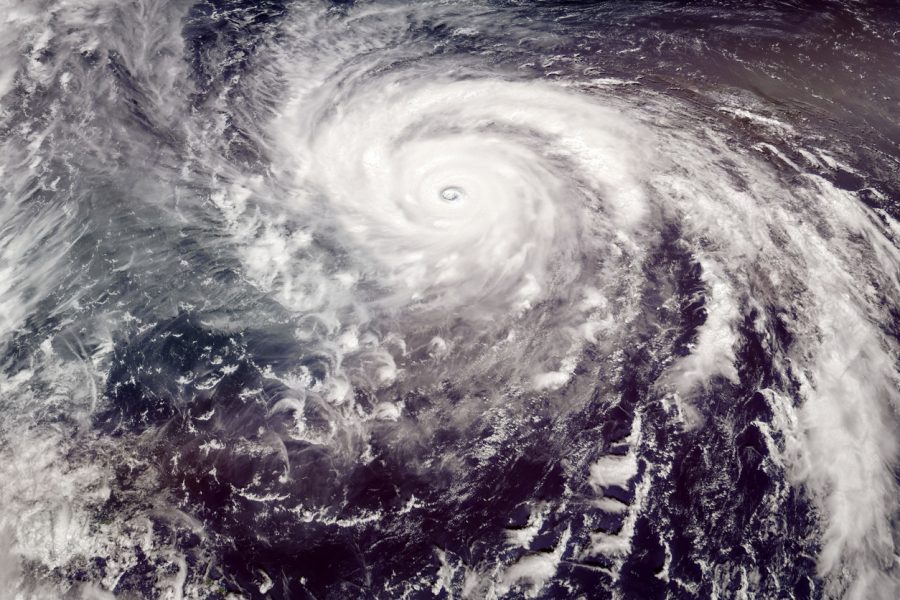
Super Typhoon Hinnamnor makes way for Japan islands, east Chinese coast

Super Typhoon Hinnamnor, the strongest global storm of 2022 brewing in the West Pacific Ocean, is predicted to barrel through Japan’s southern islands, Philippines and China’s east coast.
According to the US Joint Typhoon Warning Centre (JTWC), the typhoon is currently blowing across the East China Sea at a sustained wind speed of about 160 miles (257 km) per hour with gusts over 195 miles per hour. The maximum significant wave height is 50 feet.
Classified as a super typhoon both by the Joint Typhoon Warning Centre and the Japan Meteorological Agency, Hinnamnor is currently centred 230 km east of Japan’s Okinawa. It is expected to move west-southwest at about 22 km/hour toward the Ryukyu Islands.
The storm has been categorised as a Category 4 major hurricane on the Saffir-Simpson Hurricane Wind Scale in the Atlantic and East Pacific basins and is said to have a well-defined eye.
The US JTWC has said that the storm will weaken over the coming days.
Under the effect of the storm, Japan’s Ryukyu Islands received rainfall of 200-300 mm, raising fears of an imminent flood-like situation.
Experts said the localised rainfall amount may increase if the typhoon stalls over a particular location.
They said there could be more damage if the eye of the storm moves towards the small islands.
Meanwhile, the Hurricane Alley or the stretch between Africa and the Caribbean in the Atlantic ocean is witnessing a rather quiet August – which is time when hurricanes are the most active – in 25 years.

