7.3 magnitude earthquake hits northern Philippines; no casualties reported

A strong earthquake shook the northern Philippines on Wednesday, causing some damage and prompting people to flee buildings in the capital.
Officials said no casualties were immediately reported.
The 7.3 magnitude quake was centred around Abra province in a mountainous area and several aftershocks hollowed, the Philippine Institute of Volcanology and Seismology said.
The quake struck northern Luzon, the country’s most populous island, at 8:43 a.m. local time (8:43 p.m. ET), according to USGS. The agency originally designated the quake 7.1-magnitude, before downgrading it to 7.0.
USGS said the earthquake’s epicentre was about 11 km east-southeast of the town of Dolores in Abra province.
The quake was set off by movement in a local fault at a depth of 25 kilometres (15 miles), the institute said, adding it expected damage and more aftershocks.
Also Read: Low-intensity earthquake hits Mandi
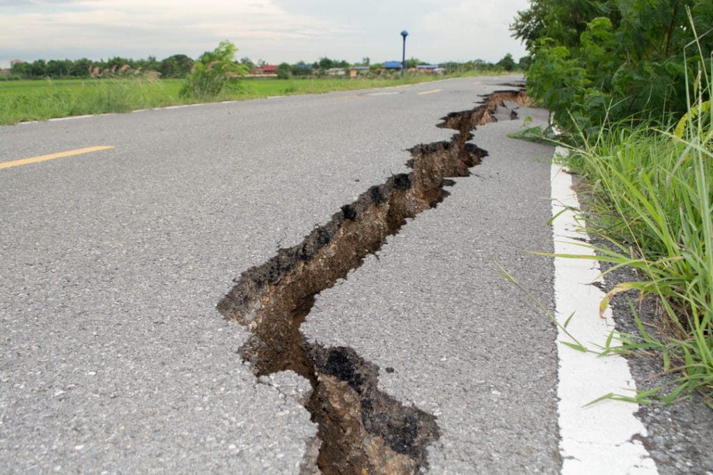
Officials said the strong shaking caused cracks in buildings and houses.
The U.S. Geological Survey measured the quake’s strength at 7.0 and depth at 10 kilometres (6 miles). Shallower quakes tend to cause more damage.
The Philippines lies along the Pacific Ring of Fire, an arc of faults around the Pacific Ocean where most of the world’s earthquakes occur. It is also lashed by about 20 typhoons and tropical storms each year, making it one of the world’s most disaster-prone countries.
A magnitude 7.7 quake killed nearly 2,000 people in the northern Philippines in 1990.
In October 2013, a magnitude 7.1 earthquake struck Bohol Island in the central Philippines, killing over 200 people and triggering landslides.
The Philippines, which lies along the Pacific “Ring of Fire,” an arc of intense seismic activity around the Pacific Ocean, is regularly rocked by quakes.
The region is also lashed by about 20 typhoons and tropical storms every year, making it one of the world’s most disaster-prone countries.
(With inputs from agencies)

