







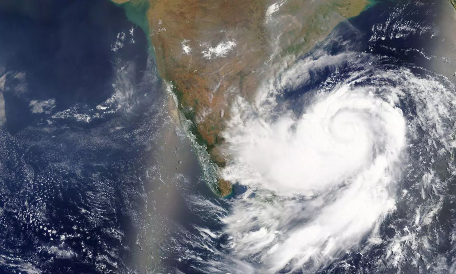
Cyclone Akvan: Third cyclone in a month brewing over Bay of Bengal
The well-marked low-pressure area is expected to intensify into a cyclonic storm, with weather models suggesting a possible movement towards north Andhra Pradesh and south Odisha

A low-pressure area over the southeast Bay of Bengal has intensified into a well-marked low-pressure area and is likely to develop into a cyclonic storm by the evening of November 16, the India Meteorological Department (IMD) said on Saturday (November 14).
The weather system, which lies over the southeast Bay of Bengal at 5.30 am on Saturday, is likely to move northwestwards and intensify into a depression over the same region within the next 24 hours.
It is then expected to move north-northwestwards and intensify further into a cyclonic storm over the central Bay of Bengal by November 16 evening. This is the third cyclone recently after Arnab and Murasu. The name given to the cyclone is Akvan.
Under the influence of the system, squally weather is expected over the Andaman Sea, Andaman and Nicobar Islands and large parts of the Bay of Bengal.
Wind speeds could reach 60 kmph, with squally winds of up to 80 kmph expected from November 17 for the subsequent two days.
The IMD has advised fishermen operating in the affected areas to return to the coast by November 15 and warned them against venturing into the sea during the period.
Where is the cyclone likely to head?
The eventual direction of the system remains uncertain, with weather models yet to establish a clear track after it intensifies into a cyclone.
According to a report in The New Indian Express, VR Durai, director of the Area Cyclone Warning Centre at the Regional Meteorological Centre, said that current weather models indicated that the cyclone could move towards north Andhra Pradesh and south Odisha.
“As of now, the weather models indicate the cyclone would not come towards north Tamil Nadu coast. In all probability, it will go towards north Andhra Pradesh and south Odisha. But, we will know the exact track only after the cyclone forms on November 16 evening,” he was quoted as saying.
Also read: Early winter? Bengaluru temperature drops to 16.3° Celsius
Meanwhile, Tamil Nadu is expected to receive relatively limited rainfall over the next few days. Light to moderate rainfall is forecast at isolated places, particularly over the Western Ghats and southern districts.
Moderate rainfall is likely in Tenkasi, Thoothukudi, Tirunelveli and Kanyakumari districts on November 17 and 18.
(With inputs from agencies.)