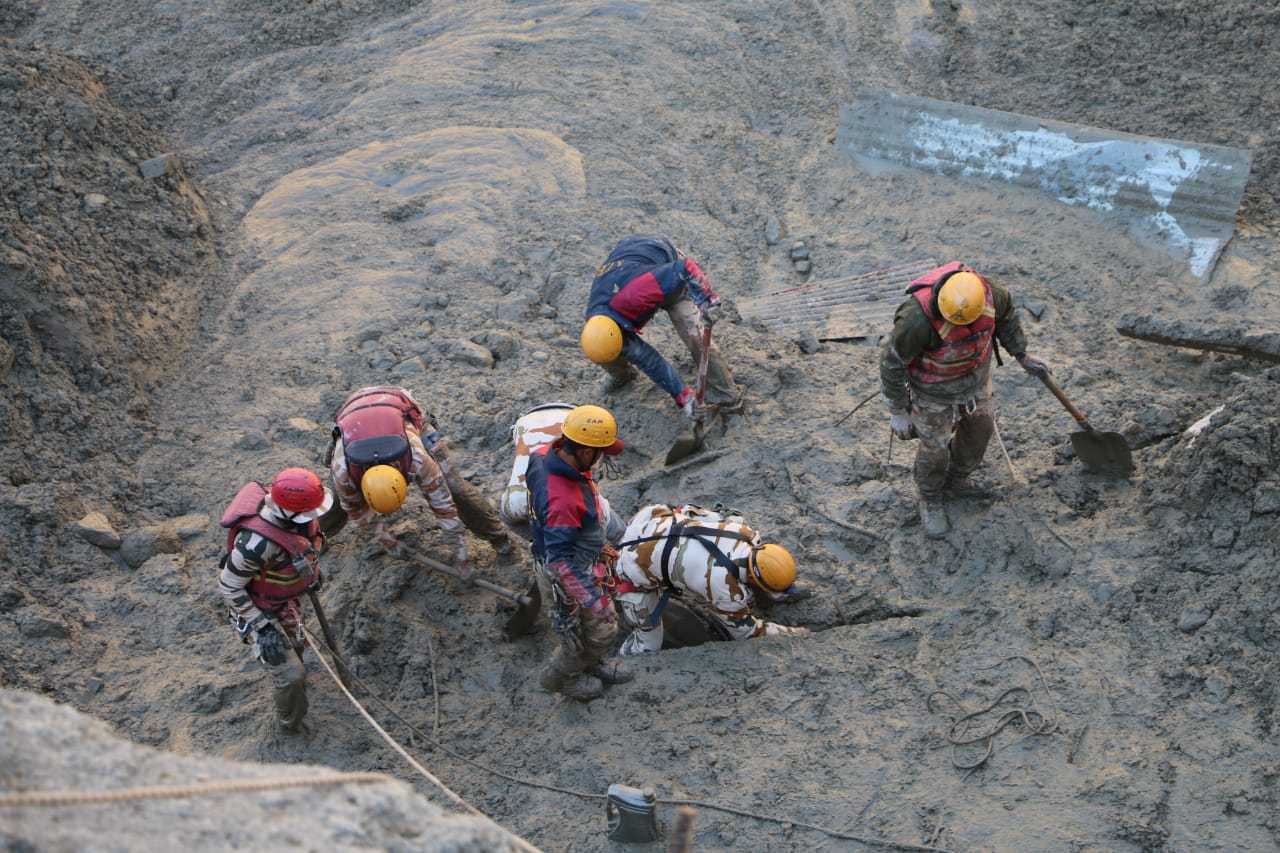
Heavy precipitation, rise in temperature led to Uttarakhand flood: Study
A recent study states that heavy precipitation in the Chamoli region from February 4-6 and an overall rise in temperature in Uttarakhand during the last four decades could have led to the rock collapse, which triggered the devastating flash floods

Heavy precipitation in Chamoli during February 4-6 and an overall rise in the temperature in Uttarakhand over the last four decades could have led to rock collapse, resulting in the devastating flash floods last month, according to a recent study.
The study was conducted by the Kathmandu-based International Centre for Integrated Mountain Development (ICIMOD) and the report was released on Friday (March 5).
ICIMOD, a regional organisation working on different aspects in the Himalayan-Hindukush region, has eight member nations, including India, China, Pakistan, Afghanistan, Myanmar, Bangladesh, Bhutan and Nepal.
Also read: Uttarakhand glacial burst toll at 70; missing 136 may be declared dead
The report stated that a crack was found which had formed prior to the incident at the site, where the rock detachment led to a rockslide from the Raunti peak. The rockslide brought with it mounds of earth and snow, which could have set off the flash floods.
At the same headwall of the Raunthi peak, a large ice avalanche was previously released, roughly between September 19 and October 9, 2016, which deposited ice and more bedrock in the valley below, according to the report.
The resulting destabilisation of the rock due to lack of ice cover (glacial de-buttressing, stress-release fracturing), and an increased exposure to solar radiation, and therefore an increased freeze thaw cycle, in combination with a large snowfall event preceding the Chamoli tragedy of February 7, 2021 and rapid melt water production, may have favoured the fracturing of rock, the report stated.
This, however, cannot explain the depth of the fracture (150 metres), which must have evolved over a longer period of time, the report stated.
The ICIMOD report further stated a strong western disturbance passed across Kashmir and northwest India during February 4-6. It was fully charged with convective instability which may have contributed to the heavy precipitation.
Also read: Uttarakhand disaster: Big infra projects threaten fragile Himalayan region
The numerical simulation on February 4 shows heavy precipitation over the region. The western disturbance travelled with relatively slower speed and its stagnancy produced concentrated precipitation, the report stated.
Precipitation data taken from the Global Precipitation Measurement (GPM) Mission suggests there were continuous precipitation events during February 3-5, resulting in approximately 58 mm of cumulative precipitation. Most of the precipitation in high altitude areas of Chamoli would have occurred as snowfall, the report said.
The temperatures are also rising in Uttarakhand, the report stated. Maximum temperature in the Chamoli area has increased at the rate of 0.032 degrees C every year between 1980 and 2018 while January 2021 was the warmest January in Uttarakhand for six decades, the report stated.
The report, however, said though the flood at Chamoli cannot be linked directly to climatic changes, the increased thaw-freeze cycle of permafrost could have partially contributed to the event.
The flash floods have claimed 72 lives and 132 persons are still missing.

