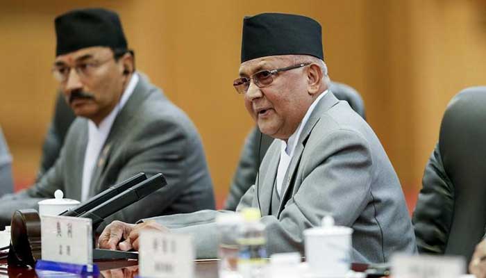
Nepal to send revised nation map to India, UN, international community
The Nepal government will send its revised nation map to India, the United Nations, and the international community by mid-August, a minister said, according to media reports.

The Nepal government will send its revised nation map to India, the United Nations, and the international community by mid-August, a minister said, according to media reports.
The revised map includes Kalapani, Lipulekh, and Limpiyadhura areas that are included in the Indian map.
“We will be sending the updated map including Kalapani, Lipulekh, and Limpiyadhura to various UN agencies and the international community including India. The process will be completed by the middle of this month,” Padma Aryal, Minister for Land Management, Cooperatives and Poverty Alleviation told news agency ANI.
The Ministry for Land Management, Cooperatives and Poverty Alleviation has asked the Department of Measurement to print 4,000 copies of the updated version of Nepal’s map in English and send it to the international community.
At least 25,000 copies of the revised map have been distributed across the country so far.
However, this development comes amid a bitter internal issue in the country’s ruling Nepal Communist Party. A rival group led by party executive chairperson Pushpa Kamal Dahal “Prachanda” has been demanding Nepal Prime Minister K.P. Sharma Oli’s resignation, saying his recent anti-India remarks were “neither politically correct nor diplomatically appropriate,” as quoted by The Indian Express.
In June, Nepal’s Parliament cleared a Constitution Amendment Bill that endorses the country’s new map, which included Indian territories. India termed the move “untenable” and said it was not based on “historical facts or evidence”.
“This artificial enlargement of claims is not based on historical fact or evidence and is not tenable. It is also violative of our current understanding to hold talks on outstanding boundary issues,” The Indian Express quoted Ministry of External Affairs Spokesperson Anurag Srivastava as saying.
Tensions between India and Nepal further escalated after Defence Minister Rajnath Singh inaugurated a 80-km-long strategically crucial road connecting the Lipulekh pass with Dharchula in Uttarakhand on May 8.
India controls Lipulekh, Kalapani, Limpiyadhura and its maps show the area as part of its territory, which was not supported by Nepal. While Nepal reacted sharply to the inauguration of the road, claiming it passed through their territory, India rejected the claim.


